Safety through sight
Reducing operational risk in remote landscapes BunjilView minimises risks in land management by replacing high-risk fieldwork with high-fidelity intelligence. By combining remote monitoring and scenar…
Learn more

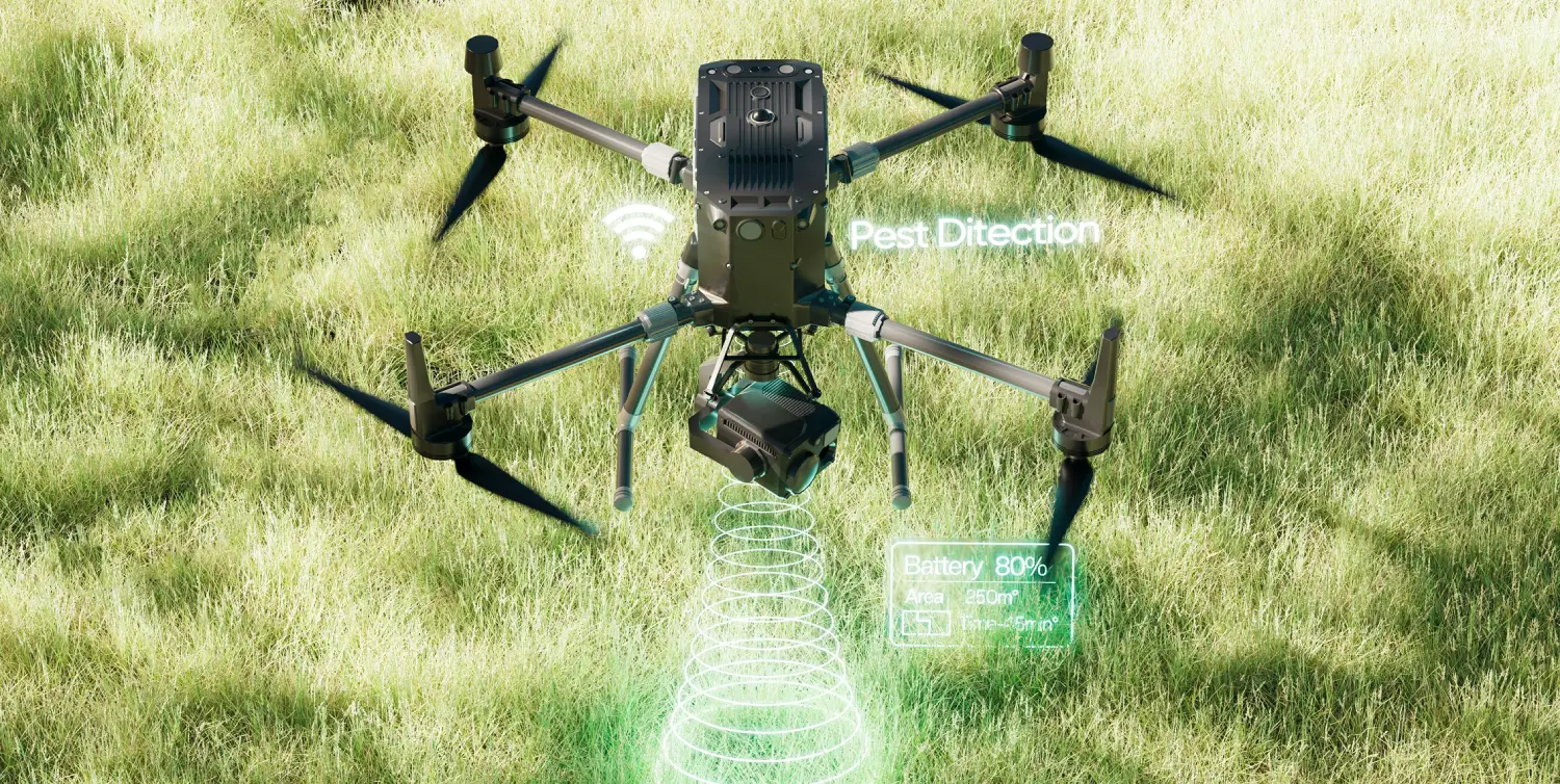
Reducing operational risk in remote landscapes BunjilView minimises risks in land management by replacing high-risk fieldwork with high-fidelity intelligence. By combining remote monitoring and scenar…
Learn more
Centralising stewardship across multiple landholdings Managing multiple landholdings and waterways is complex and often fragmented. BunjilView eliminates data silos by centralising diverse datasets fr…
Learn more
High-fidelity mapping for resilient stewardship Resilient land stewardship requires moving beyond static snapshots to dynamic, millimetre-accurate geospatial models. BunjilView combines survey-grade a…
Learn moreUse BunjilView to turn complex data into clear, actionable insights across land, assets, and infrastructure.